
Get a complete view of the most relevant data in just a few clicks, facilitating decision-making and minimizing risks.
ABOUT THE PLATFORM
We know that managing environmental resources is complex and challenging. That’s why we’ve simplified the process by offering a user-friendly interface even for people with no background in Geographic Information Systems (GIS).
ADVANTAGES
Data-Informed Decision Making (DIDM) represents the process of using data as the main reference for decision-making, linked to broader analyses that account for human and behavioral factors.
See how the EnviroAsset platform helps your team make data-informed decisions:
Using machine learning and data engineering techniques, we compile and standardize historical documentation, whether submitted as PDF, Excel or even printed
The platform generates reports using the most diverse filters and cut-outs. This means less time spent on operational tasks and more agility in decision-making.
With easy access to data, it is possible to monitor the progress of projects in detail and carry out ongoing audits.
The platform is so simple to use that you and your team can analyze the data in real time whenever necessary, without having to rely on the help of GIS experts.
We maintain custody of your data in a secure and structured environment with password-protected access.
With the Financial Dashboard allows you to visualize a project’s financial development through graphs and tables.
HOW IT WORKS
EnviroAsset helps you manage environmental liabilities and assets by digitizing and systematizing information.
1. Integration
Digitization and systematization of data
2. Visualization
Graphs, tables, maps and timelines
3. Interpretation
Critical analysis of data facilitated by visualization in graphs
4. Management
Informed and assertive decisions
*if data is available
With digitalized and transparent information, it is easier to carry out audits, generate reports and manage environmental liabilities and assets.
QUESTIONS ABOUT ENVIROASSET
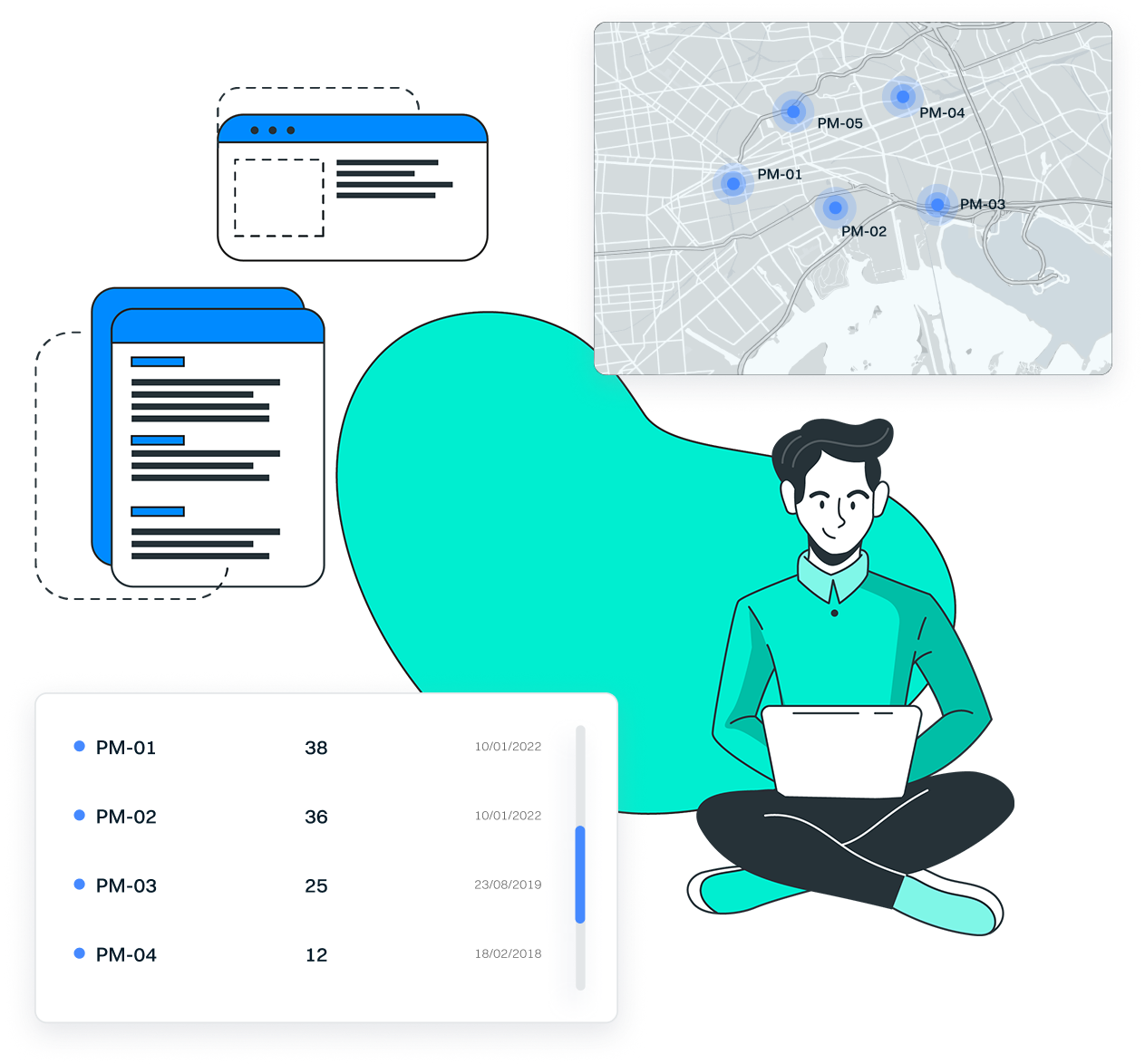
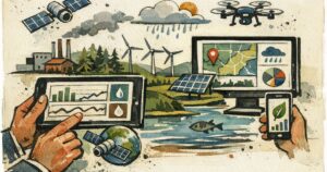
Any type of geolocalized environmental data. In other words, data from different matrices such as water, soil, sediment, vapors, atmospheric emissions, waste, biodiversity. The data can come from environmental studies, continuous monitoring, licensing conditions or data monitored in real time.
No. Although it was initially created for the management of environmental liabilities, the platform is now also designed for asset management with the aim of monitoring environmental licenses and mitigating risks.
No. EnviroAsset has been developed so that any user, even those with no GIS experience, can use it.
Yes. Although our team offers the service of organizing and computing the data, the client will also have complete autonomy to upload their data as they wish.
Our security protocols are at the forefront of preventing cyber attacks with certified servers, advanced encryption and one-way algorithms.
Yes. You can allow different levels of access to employees on your team, environmental agencies, consultancies and various suppliers.
When the platform is made available to the client, we offer a short 2-hour training session via video, lasting around 2 hours. After the training, customers can also contact our team with any questions they may have.
EnviroAsset is a technology developed by NewFields Brasilan environmental consultancy with almost 20 years of experience specializing in complex cases in Brazil and Latin America.
GET IN TOUCH
Understand how EnviroAsset can transform environmental data management in your organization
Lorem ipsum dolor sit amet, consectetur adipiscing elit eget ligula eu lectus lobortis.